
Mount Saint Helens, Washington, USA
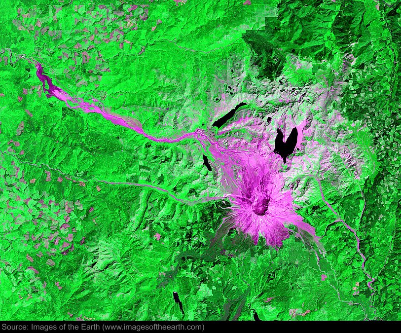
Approximate image footprint: 51 X 40 km
Coordinates: 46.20N, 122.18W
Date: August 14, 2002
Satellite sensor: Landsat 7 ETM+
Raw data credit: NASA
Spectral range: Enhanced infrared composite
Click HERE to purchase an 8 X 10 photographic enlargement for only $5.45 (more sizes are available).
Images on this site were compiled by Paul Illsley.
Return to Images of the Earth homepage.
|