|
by: Paul Illsley

Paul Illsley flying his Phantom Quadcopter over The Lookoff
All images on this page were recorded with this remotely controlled Quadcopter.
Photo: Bria Stokesbury
Prints and Enlargements
If you would like an enlargement of any of these images (framed or unframed) please contact Rick at Rick’s Frame and Art in New Minas (902.365.1234 or www.rickpenney.com). I have supplied Rick with full resolution copies of these images and he can help you with all of your printing and framing needs.

Town of Kentville (2013)

Delhaven (2013)

Prescott House Museum (2013)

Scots Bay (with a bird inspecting the Quadcopter) (2013)

Village of New Minas (2013)
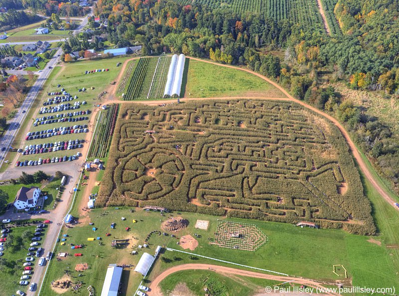
Noggins Farm Corn Maze (2013)

The Lookoff (North of Canning) (2013)

Port Williams (2013)

Horton Landing (Historic site) (2013)

Valley Regional Hospital (Kentville) (2013)

Evangeline Beach (2013)

Northville Farm Heritage Centre (2013)

White Rock Pond (2013)

White Rock Valley (Gaspereau River above the White Rock Pond) (2013)

Canning (2013)

Kingsport Wharf (2013)

Kingsport Beach (2013)

Gaspereau Valley (2013)

Morden (2013)

Huntington Point (2013)

Harbourville (2013)

Canada Creek (2013)

Black Rock (2013)

Baxters Harbour (2013)

Halls Harbour (2013)

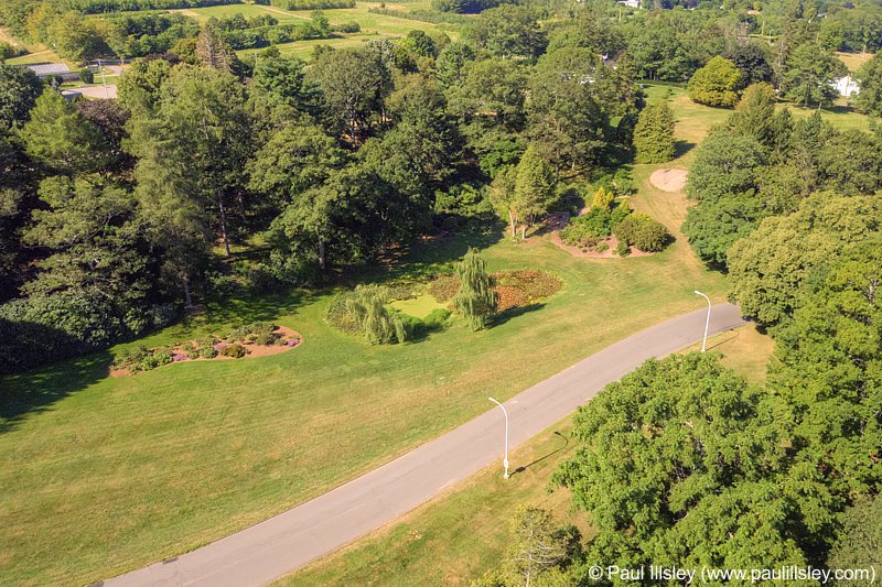
Kentville Agricultural Research Station (2013)
Kentville Agricultural Research Station pond (2013)

Grand Pre National Historic Park overlook site (2013)

Grand Pre National Historic Park (2013)

Town of Wolfville (2013)

Acadia University, Wolfville (2013)

Berwick (2014)

Aylesford (2014)

Coldbrook (2014)

Miners Marsh, Kentville (2014)
For more information contact: Paul Illsley
|