
Matusevich Glacier, Antarctica
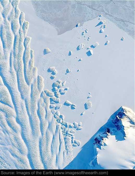
Approximate image footprint: 16 X 20 km
Coordinates: 69.17S, 157.42E
Date: September 6, 2010
Satellite sensor: EO-1 Advanced Land Imager (ALI)
Raw data credit: NASA
Spectral range: Natural color
Click HERE to purchase an 8 X 10 photographic enlargement for only $5.45 (more sizes are available).
Images on this site were compiled by Paul Illsley.
Return to Images of the Earth homepage.
|