
Island of Tahiti, French Polynesia
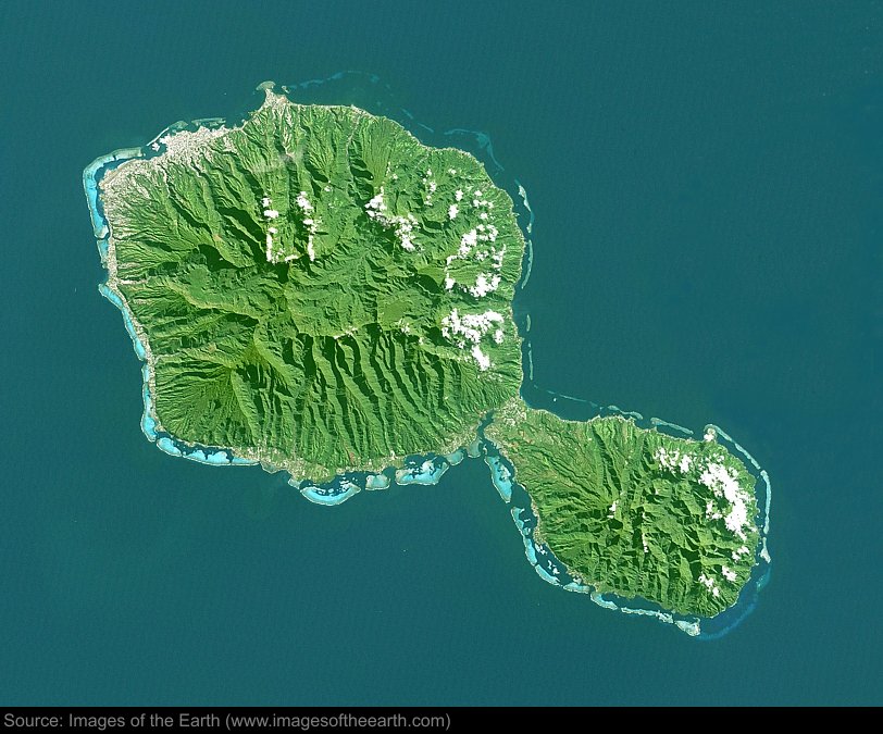
Approximate image footprint: 71 X 57 km
Coordinates: 17.64S, 149.46W
Date: July 11, 2001
Satellite sensor: Landsat 7 ETM+
Raw data credit: NASA
Spectral range: Natural color composite
Click HERE to purchase an 8 X 10 photographic enlargement for only $5.45 (more sizes are available).
Images on this site were compiled by Paul Illsley.
Return to Images of the Earth homepage.
|