
Vancouver and Gulf Islands, British Columbia, Canada
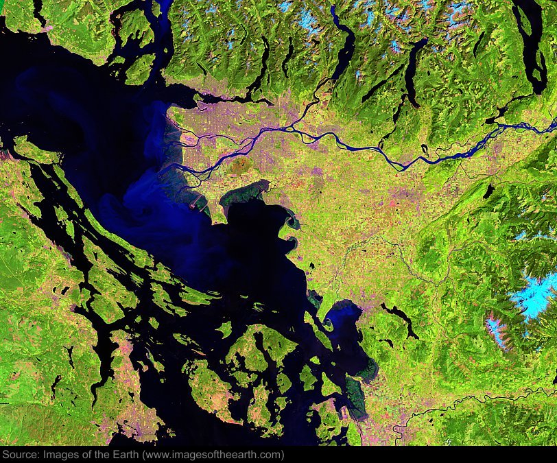
Approximate image footprint: 161 X 129 km
Coordinates: 49.02N, 123.12W
Date: July 30, 2000
Satellite sensor: Landsat 7 ETM+
Raw data credit: NASA
Spectral range: Enhanced infrared composite
Click HERE to purchase an 8 X 10 photographic enlargement for only $5.45 (more sizes are available).
Images on this site were compiled by Paul Illsley.
Return to Images of the Earth homepage.
|