
Paul Illsley
With over 40 years of photographic experience Paul's work has been published by National Geographic, used by The Royal Canadian Mint in the form of a coin, by Canada Post in the form of a stamp and featured in a number of international publications.
Paul has served as imaging specialist on a NASA and National Geographic sponsored airborne laser (LiDAR) mapping project in the Peruvian Andes and as an instructor of Cartography, Remote Sensing, Photogrammetry and Research Imaging with the Juneau Icefield Research Program (JIRP) in Alaska. Paul is an award-winning graduate and former instructor of Remote Sensing, Airborne Imaging and Digital Mapping in the Cartography department at the Centre of Geographic Sciences (COGS) in Nova Scotia, Canada.
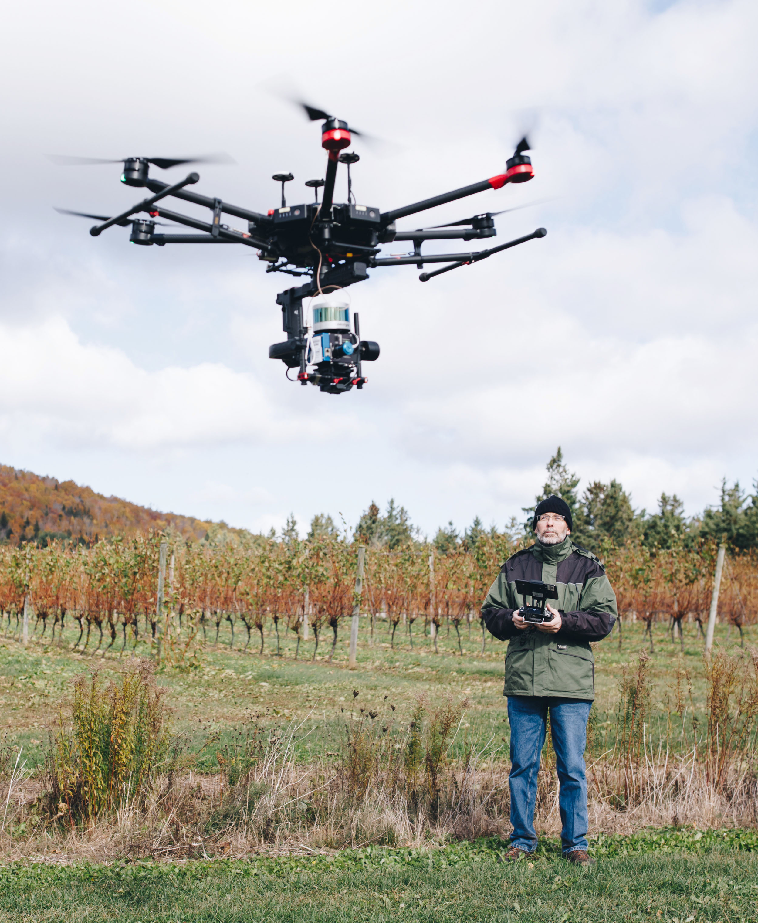
Paul is a retired airborne imaging specialist in the Applied Research department at COGS where he was responsible for piloting and maintaining advanced drones containing Viable Spectrum, Multispectral, Hyperspectral, Thermal imaging sensors as well as active LiDAR laser mapping systems. He holds an Advanced Operations drone pilot's certification from Transport Canada.
In addition to his cartographic and research imaging experience Paul has served as a reconnaissance specialist with the Canadian Armed Forces Reserves and holds certifications in both parachuting as well as SCUBA diving. In his free time Paul enjoys kayaking, hiking and nature photography.
Contact:
Paul Illsley
Nova Scotia, Canada
paul@paulillsley.com