
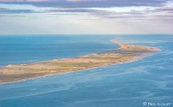
Located in the Atlantic Ocean 175 kilometers off the east coast of Nova Scotia, Canada
About: Paul Illsley
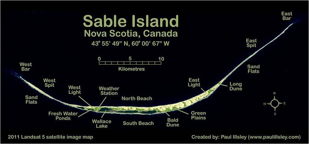
Sable Island


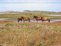


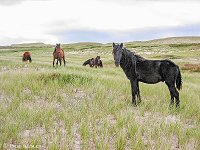


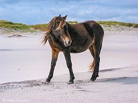

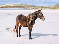


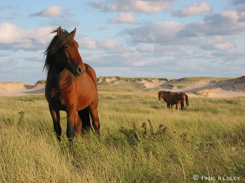
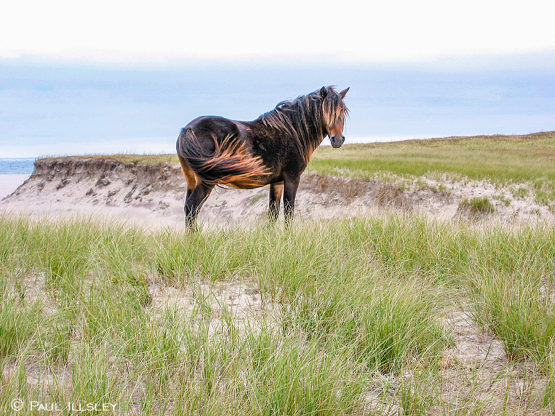
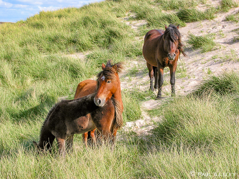
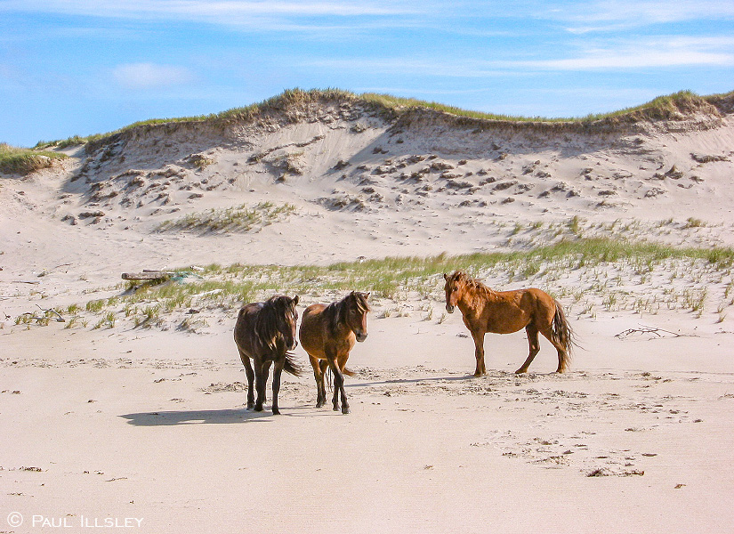
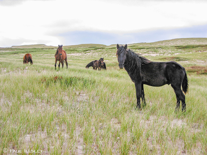
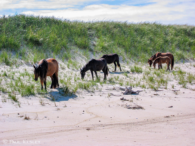
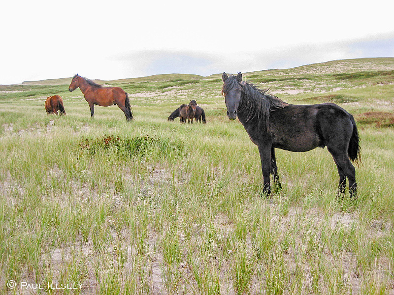
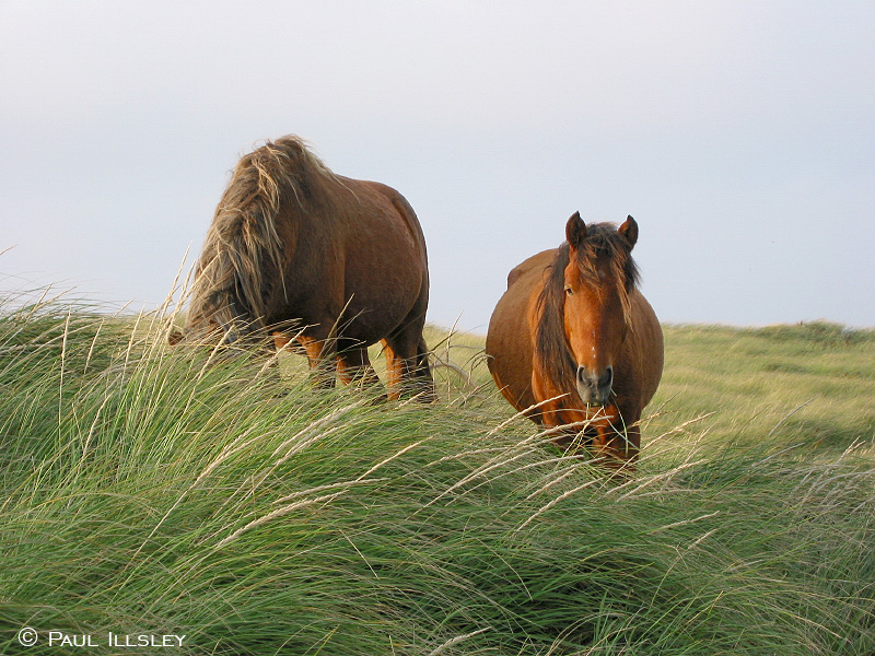
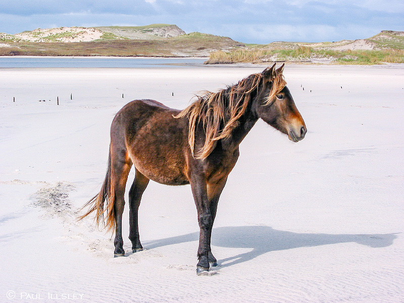
Majestic Sable Island horses near Bald Dune
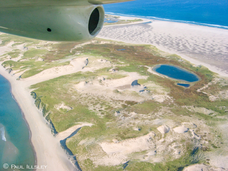
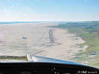
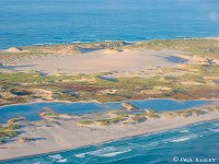
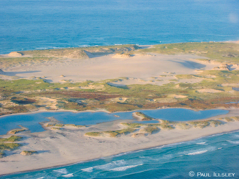
Aerial view of the center portion of Sable Island
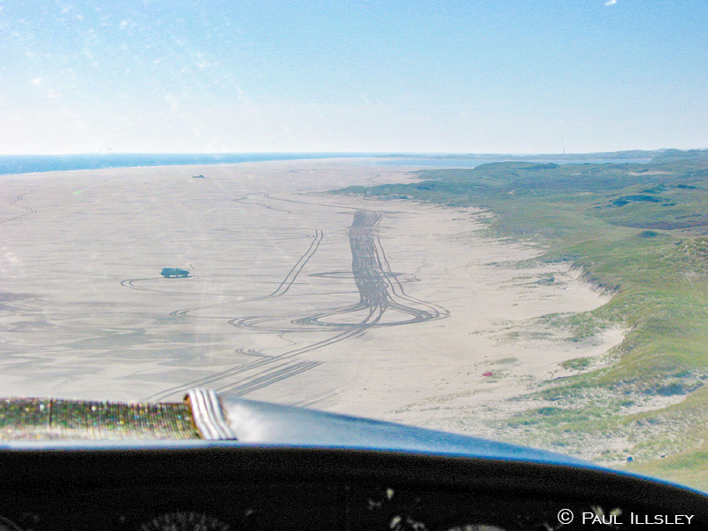
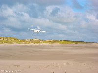
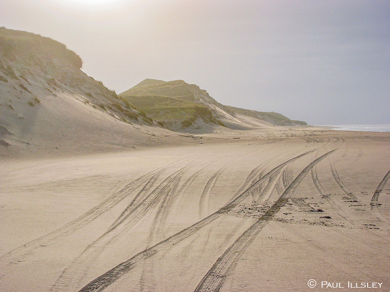
Improvised landing strip on the south beach
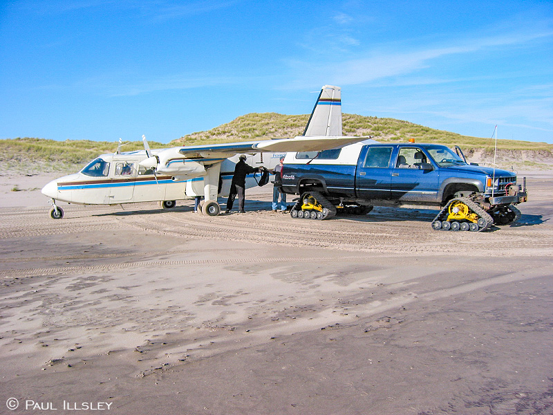
Unloading equipment and provisions
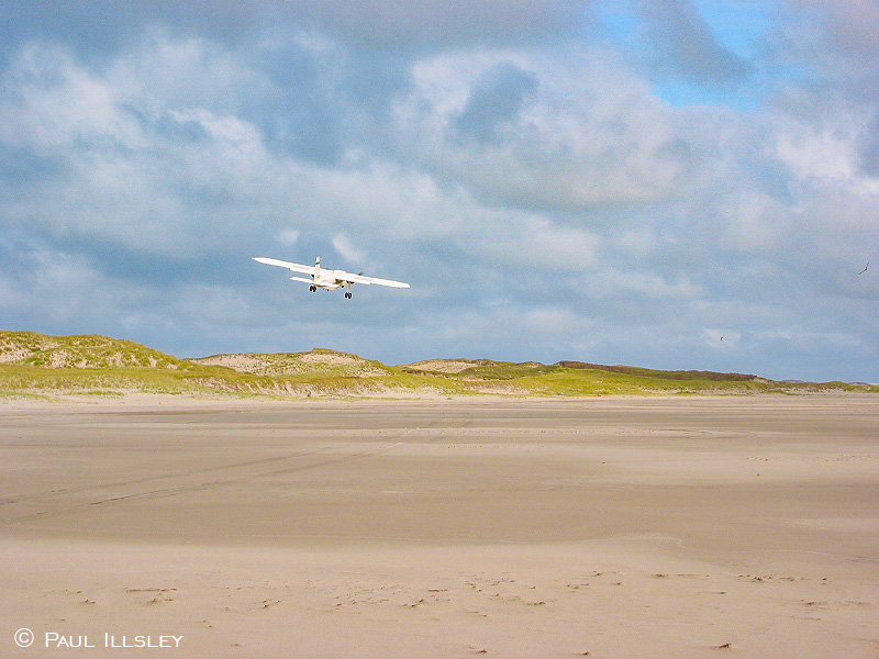
Aircraft leaving Sable Island for the mainland
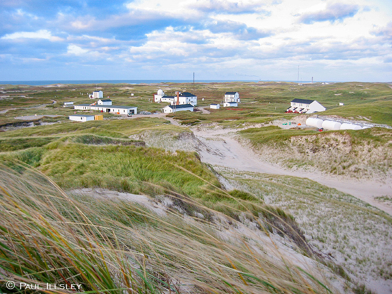
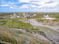
Weather Station and support buildings near the center of the island
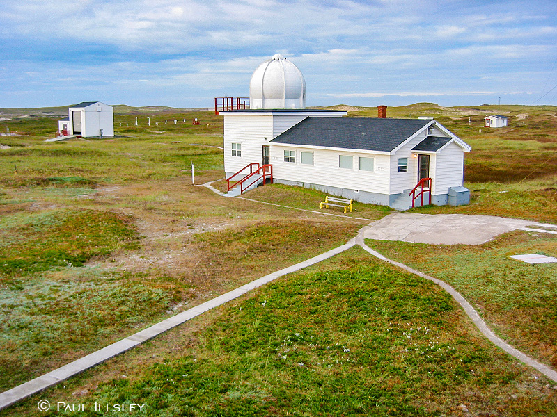
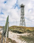
Weather Station
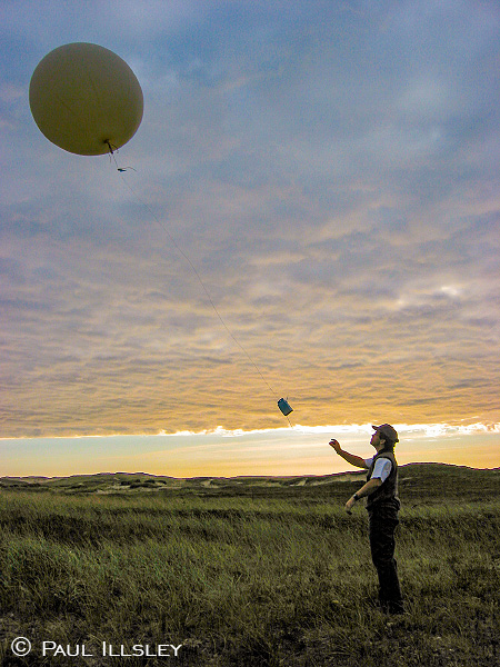
Technician launching a weather balloon
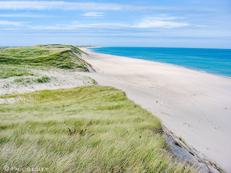
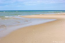
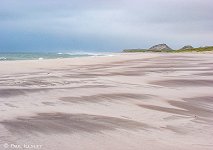
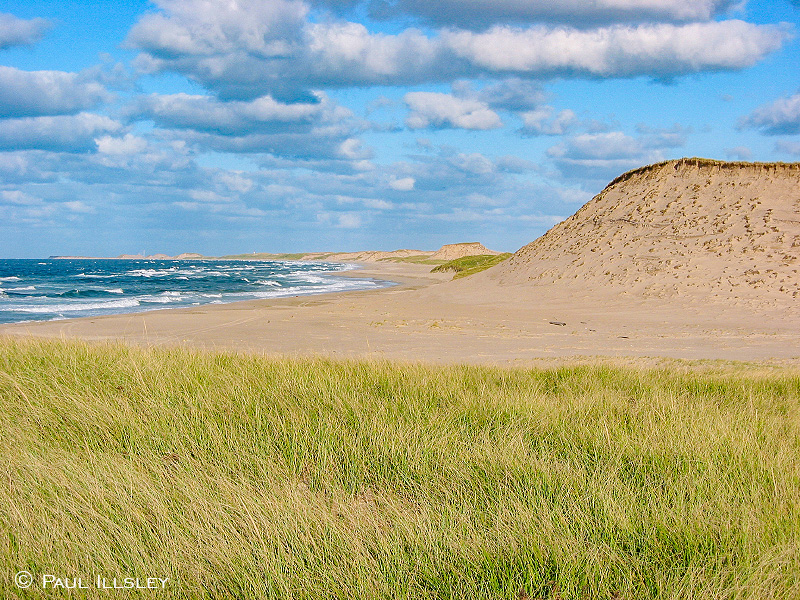
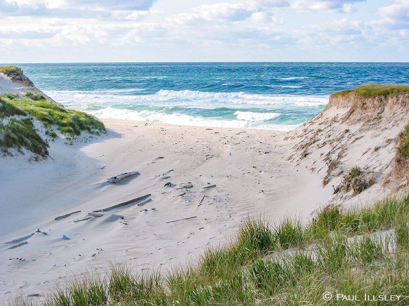
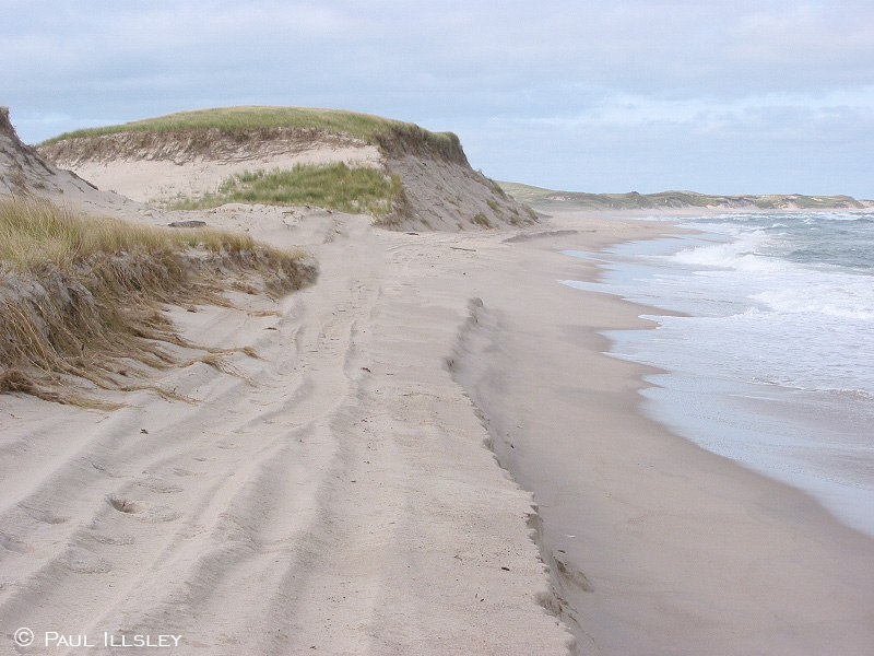
North beach in a warm calm day (looking west)

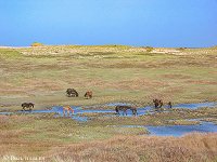
Horses drinking from the fresh water ponds
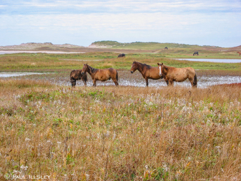
Horses near the fresh water ponds

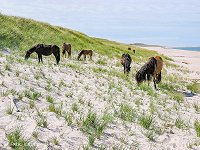
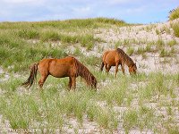
Horses grazing on the north beach
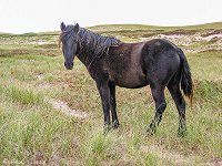
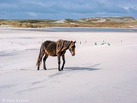
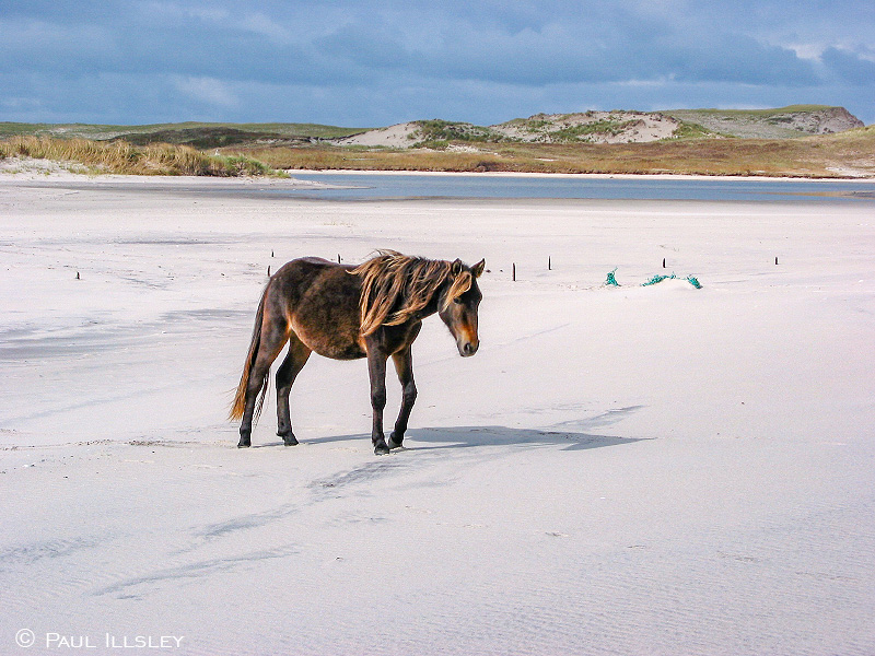
Lone horse near the south beach
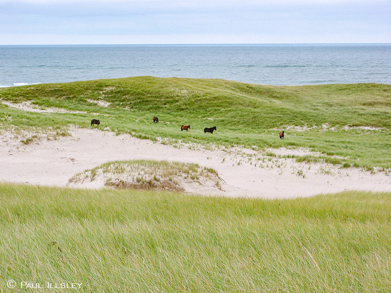
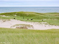
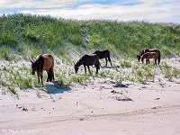
Horses grazing in the grassy fields near the south beach

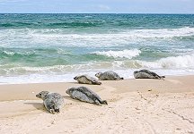
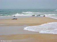
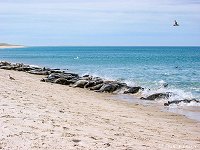
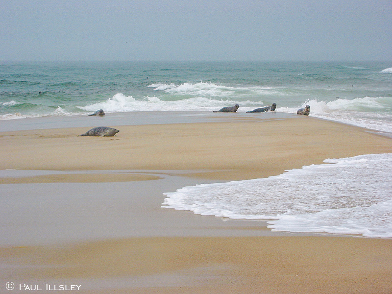
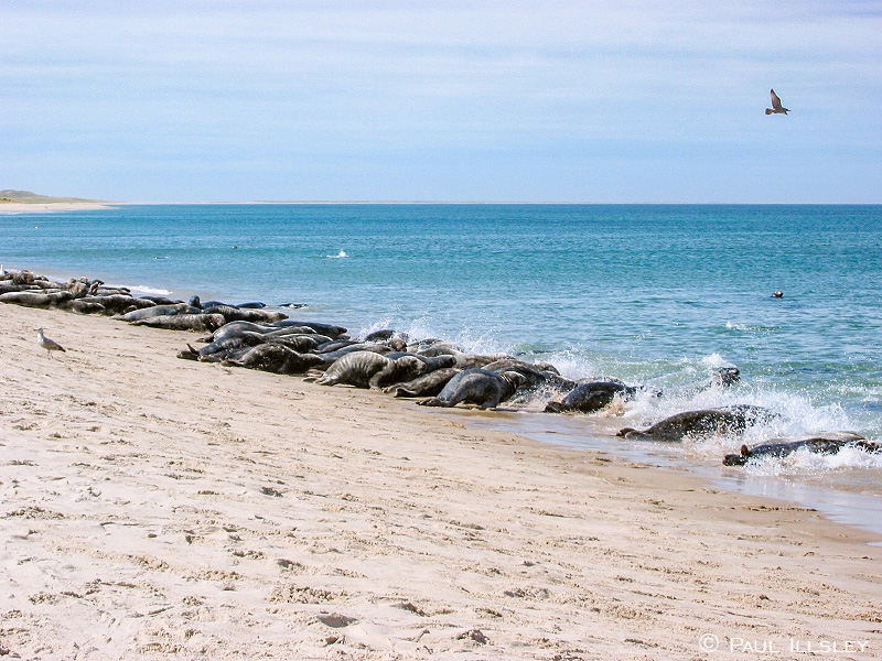
Seals on the north beach
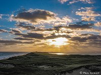
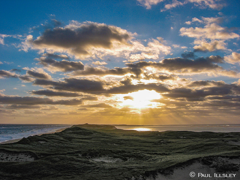
Evening light on Sable Island
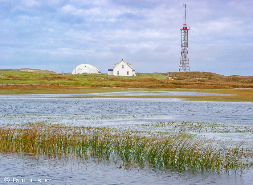
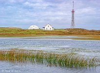
West Light and Coast Guard Station near the fresh water ponds
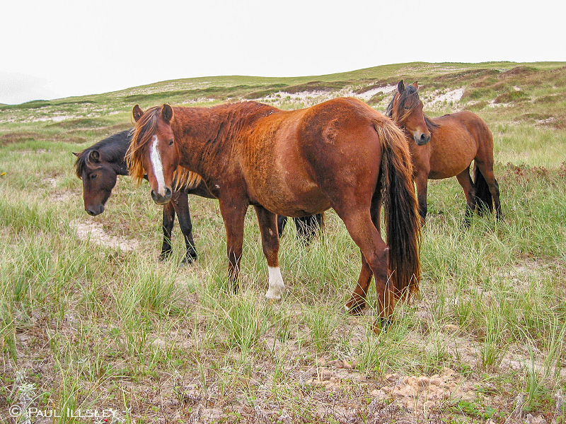
Horses grazing on the side of a dune
Seals on the east tip of Sable Island
Curious horses grazing in the center of the island
Lone horse grazing in the grassy center of the island
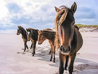
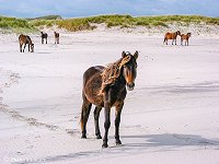
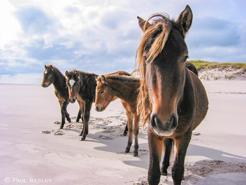
Curious horses on the south beach
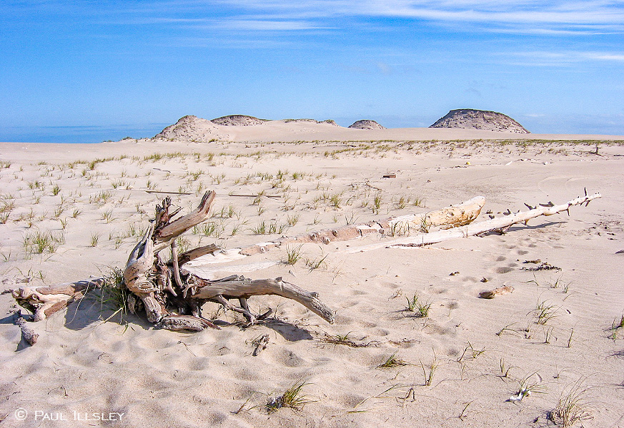
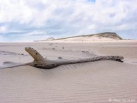
Driftwood on the east end of the island

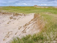
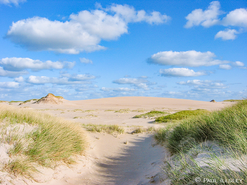
Sand, grass and dunes in the center of the island
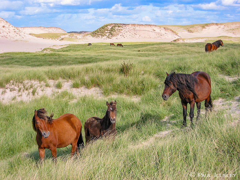
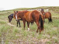
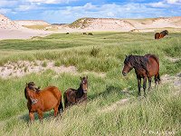
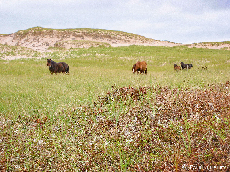
Horses grazing in the grassy fields in the center of the island
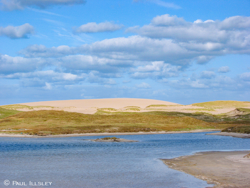
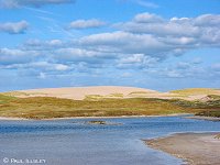
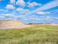
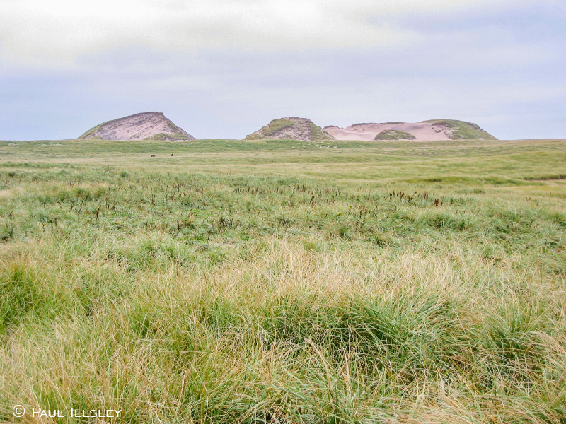
View of Bald Dune with Wallace Lake in the foreground
Horses grazing in the grassy fields in the center of the island

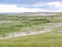
Center section of the island on a sunny summer day
Curious horses on the south beach

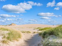
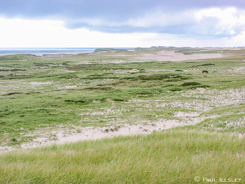
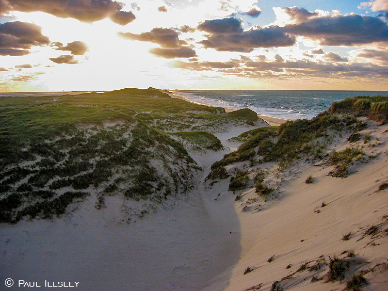
Windswept dunes with a view to the North Atlantic
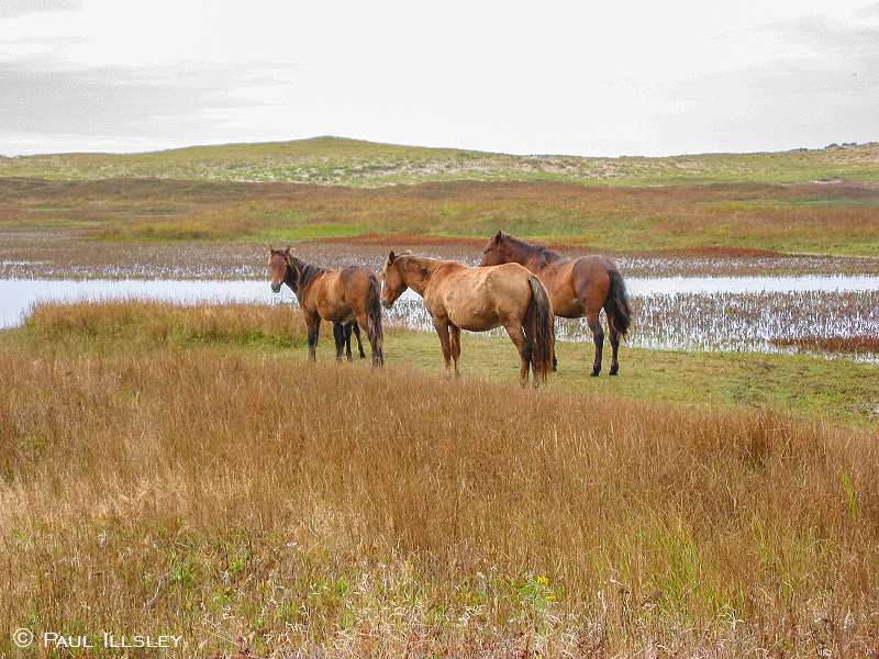
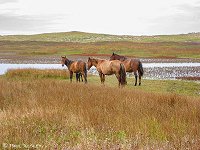
Horses congregating near the fresh water ponds
Evening light on Sable Island
Curious horse on the south beach
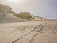
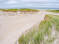
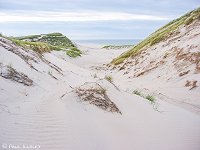
Dunes along the north beach (looking east)
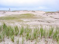
Dunes with East Light in the distance
Early morning on Sable Island
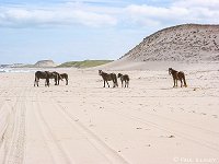
Horses grazing on the north beach
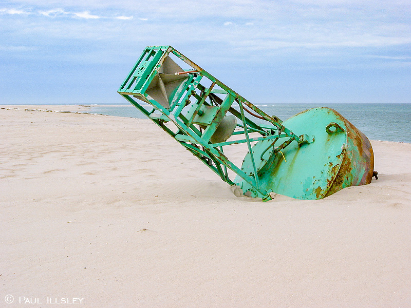
Navigation buoy washed ashore on the west end of the island
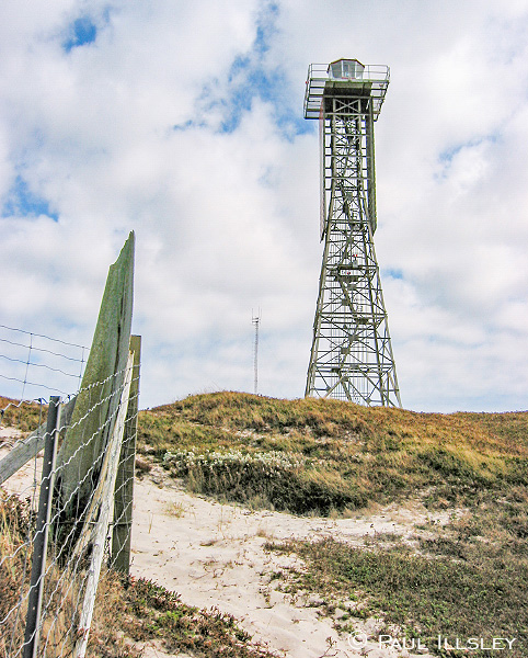
West Light

Horse grazing near thee center of the island
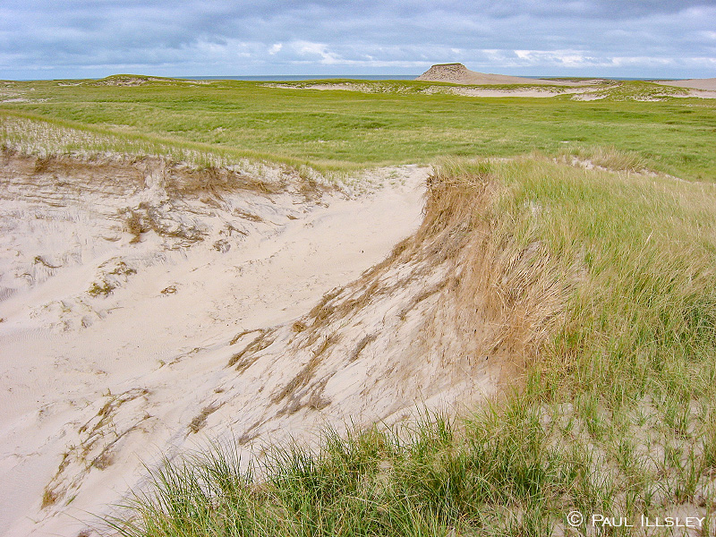
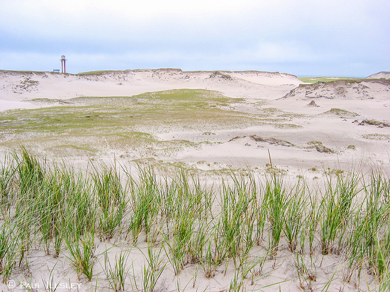
Dunes and grassland in the center of the island
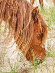
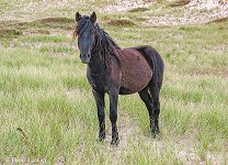
Horse grazing
Horse near Wallace Lake on the south beach

Driftwood on the east end of the island
Horse grazing near the center of the island
Horses making their way down the north beach (heading east)
Dunes and grassland in the center of the island
Curious horses on the south beach
Seals making their way into the North Atlantic
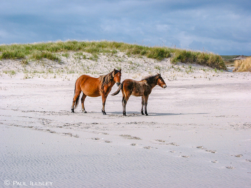
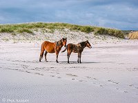
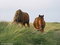
A pair of horses on the south beach
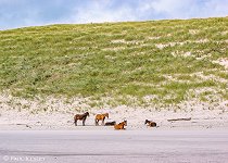
A group of horses on the east end of the island
Break in the dunes along the north beach

Horses resting below a dune on the south beach
Aerial view of Bald Dune and the east end of Wallace Lake
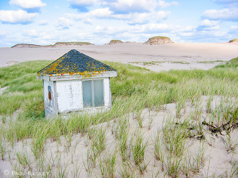
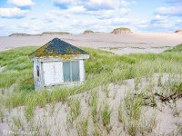
Abandoned bird watching blind near Bald Dune

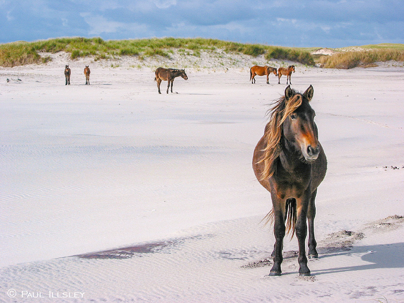
Curious horse on the south beach
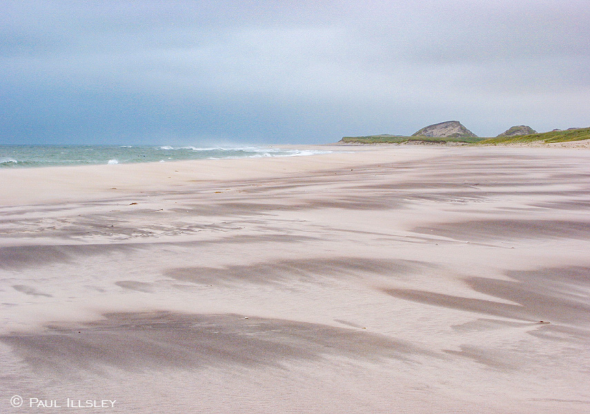
Shifting dunes along the north beach

East tip of the island and the North Atlantic

Horses grazing on the side of a dune

Curious horse stands in a grassy meadow
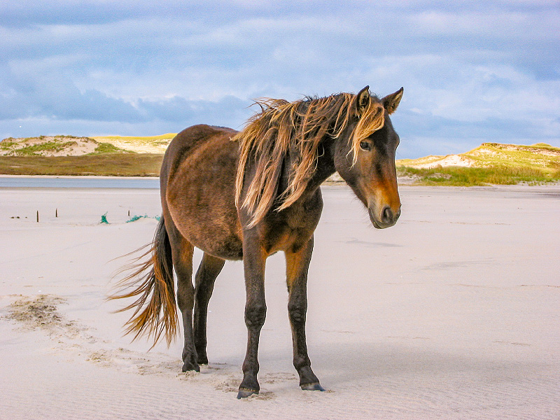
Horse strolling along the south beach

Curious horse on the south beach
Horses enjoying the lush green grass in the center of the island
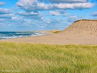
View of Bald Dune
Horse on the south beach
View of the dunes on the east end of the island

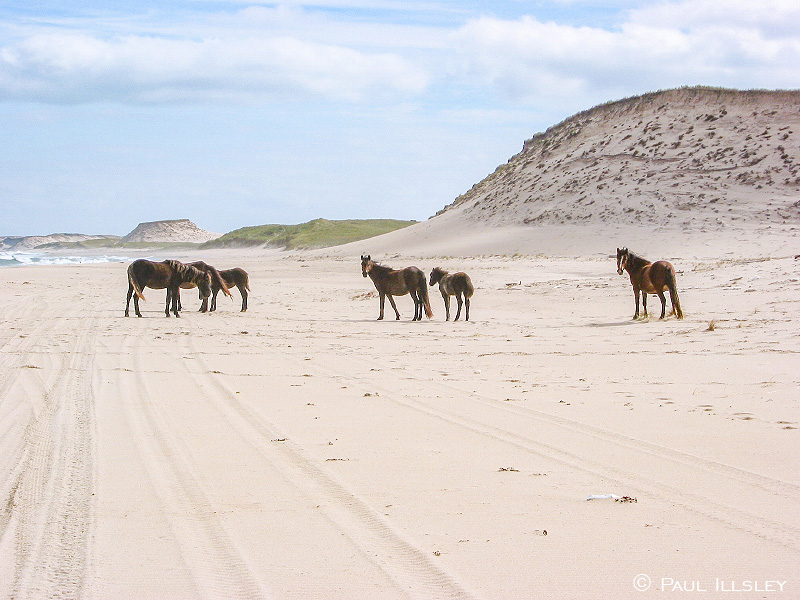
Horses gathering on the south beach

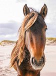
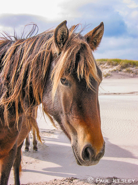
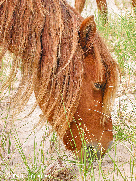
Up close and personal with a curious horse

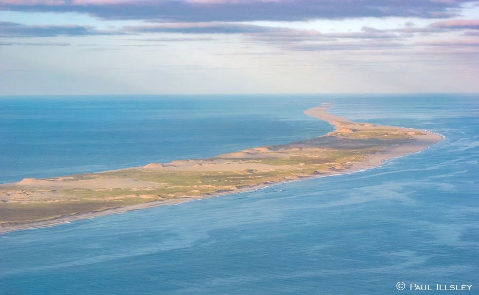
Aerial view of the west end of Sable Island
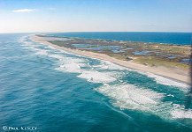
Aerial view of the east end of Sable Island
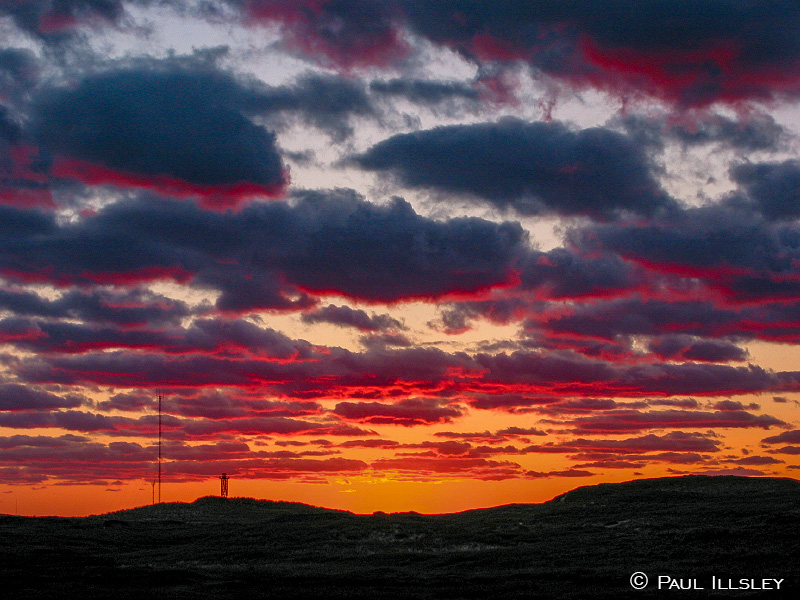
Sunset on Sable Island
Return to Paul Illsley's home page